


COLUMBUS, Ind.- The National Weather Service (NWS) issued a warning that a potent storm system is possible in Bartholomew County on Thursday night with a chance of strong to severe storms between 2 and 10 p.m.
Isolated to scattered thunderstorms are possible, with large hail as the primary early threat.
Bartholomew County has now been upgraded to an Enhanced Risk for severe weather later today.
Timing:
- Storms are possible from 1 to 10 p.m.
- Most likely timeframe is 3 to 7 p.m.
- There is still some uncertainty regarding the exact time of storm initiation
Main Hazards:
- Damaging straight-line winds at 60+ mph
- Large hail the size of 1 inch or more
- Tornadoes are possible
What You Should Do:
- Stay weather-aware throughout the day
- Have multiple ways to receive warnings (NOAA Weather Radio, phone alerts, local media)
- Secure outdoor items that could be blown around
- Know your safe place - the lowest level, interior room away from windows
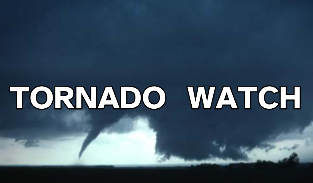 Tornado Watch is in effect for south-central, southern Indiana counties
 Columbus Fire Department promotes office to lieutenant
 3 Johnson County women named 500 Festival Princesses
 Deadline for JCCF student scholarships is Tuesday
 Brown County Humane Society awarded grant from PEDIGREE Foundation