

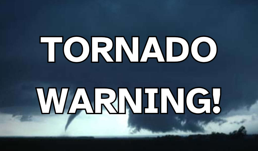
SOUTH-CENTRAL, Ind.–UPDATE(8 P.M.): Confirmed Tornado moving east toward COLUMBUS area along 46 at 40 mph! Currently impacting Taylorsville and Edinburgh. Tornado Warning for Bartholomew County has been extended until 8:30 p.m. Storm damage to homes, power outages already being reported in Bloomington. Ping pong sized hail being reported. Listen live to QMIX 107.3 for minute to minute weather updates. Get to a safe indoor location now!
Tornado Warning for...
Southwestern Shelby County in central Indiana...
Brown County in south central Indiana...
Southeastern Johnson County in central Indiana...
Northwestern Bartholomew County in central Indiana...
* Until 800 PM EST.
* At 721 PM EST, a severe thunderstorm capable of producing a tornado
was located 7 miles west of Nashville, or 8 miles east of
Bloomington, moving east at 40 mph.
HAZARD...Tornado and ping pong ball size hail.
SOURCE...Radar indicated rotation.
IMPACT...Flying debris will be dangerous to those caught without
shelter. Mobile homes will be damaged or destroyed.
Damage to roofs, windows, and vehicles will occur. Tree
damage is likely.
* Locations impacted include...
Columbus, Nashville, Edinburgh, Princes Lakes, Clifford, Yellowwood
Lake, Peoga, Spearsville, Helmsburg, Beanblossom, Gnaw Bone, and
Taylorsville.
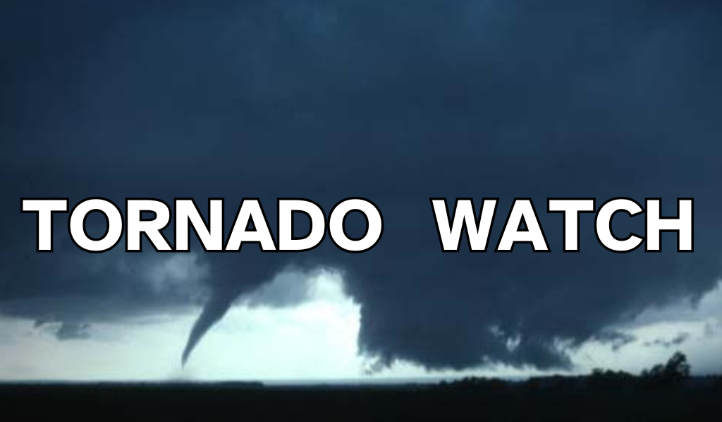 Tornado Watch extended until 11 p.m.
 Columbus Fire Department promotes office to lieutenant
 Bartholomew County at Enhanced Risk for Severe Weather on Thursday
 3 Johnson County women named 500 Festival Princesses
 Deadline for JCCF student scholarships is Tuesday