

SOUTH-CENTRAL, Ind. - Pop-up thunderstorms traveled through parts of central and southern Indiana on Tuesday, and the National Weather Service (NWS) in Indianapolis says a more potent system could move into the state on Wednesday. It might mean an increased risk of severe weather in the region.
The possible showers and thunderstorms are expected to arrive in two rounds on Wednesday for Bartholomew, Johnson, Jackson, Jennings, Shelby, Decatur, and Brown Counties in south-central Indiana.
The first round is forecast for early afternoon, and the second, a more intense system, is predicted to move through between 9 and 11 p.m. Any lingering rain is expected to end by 4 a.m. on Thursday.
The severe weather potential for Wednesday evening includes straight-line winds and thunderstorms. NWS says supercell thunderstorms and tornadoes cannot be ruled out. Any watches or warnings would not be issued until later in the day as weather patterns become clearer.
Although not a prediction at this time, the storms could contain larger hail (1-2 inches), damaging or destructive winds (60-80 mph), and tornadoes.
South-central Indiana residents are advised to be "weather-aware" and monitor forecasts throughout the day.
 Franklin Firecracker Festival is July 3
 Bargersville Town Council approves new warning sirens purchase
 KORN Country 100.3 Musical Fireworks, Greenwood Freedom Festival is June 27
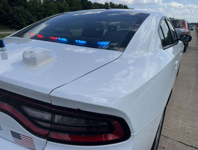 ISP issues tickets for driving too slow in left lane, unrestrained child